


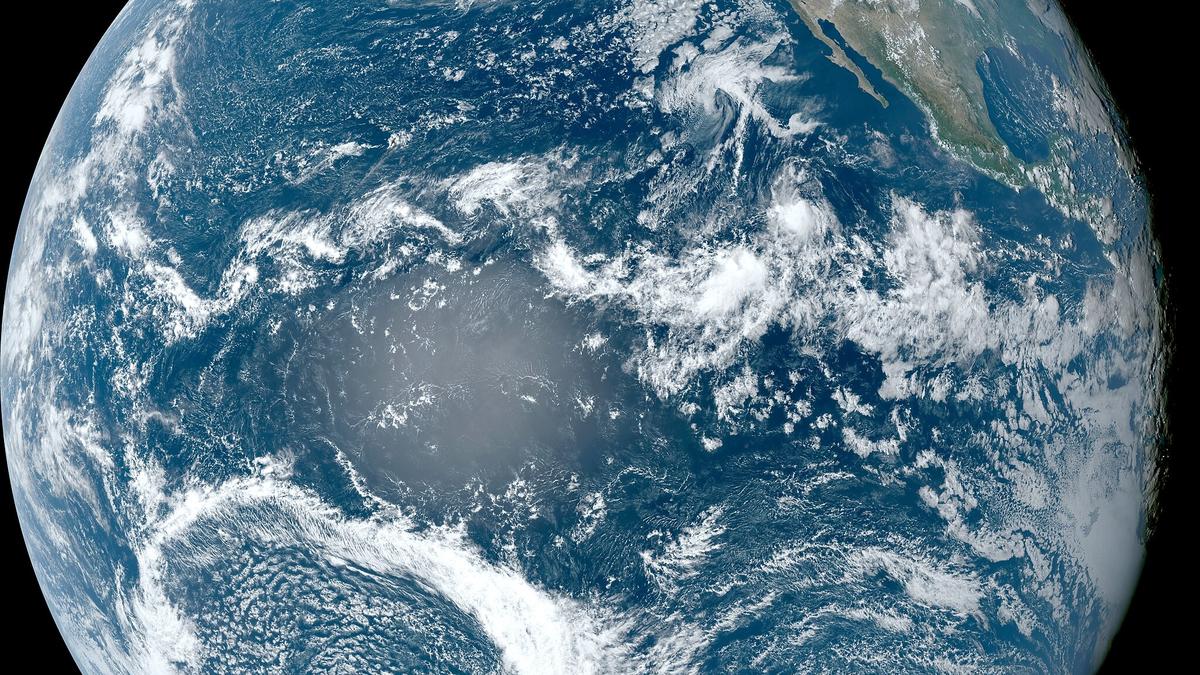


The Pacific Ocean as seen from an altitude of 35,000 km above mean sea level by the NASA GOES-18 satellite on September 23, 2023.
| Photo Credit: NASA
It’s that time of the year again. India waits eagerly for the summer monsoon forecast, tinged with some anxiety about whether it will be ‘normal’. The fate of the monsoon also raises the question of whether 2025-2026 will be an El Niño year or a La Niña year. Even though only 60% of deficit and surplus years have historically been accounted for by El Niño and La Niña events, respectively, they have been perceived as the harbingers of bad news or good news about the monsoons.
There have been many headlines over the last few months claiming the world is in the grip of a La Niña. Is this true? Sea surface temperature (SST) patterns in the tropical Pacific Ocean have evolved in a rather unexpected way since early 2024.
Recall that the El Niño forecasts issued in early 2023 turned out to be quite accurate even as the 2023 summer monsoon was essentially ‘normal’ in terms of total seasonal rainfall.
Recall also that a normal monsoon hardly means an even distribution in space or time. Heavy spells were reported across many States even as parts of Karnataka, Kerala, Uttar Pradesh, West Bengal, and the Northeast registered shortfalls.


The forecasts at the beginning of 2024 seemed equally confident about a strong La Niña for the latter half of 2024. They appeared to validate the presence of cold SST anomalies appearing early in the far eastern tropical Pacific Ocean, which is an expected early symptom of La Niña. Strangely, however, the cold SST anomalies began shifting westward, towards the international dateline, with warm SST anomalies appearing in the far east by early summer 2024.
Anomalies in wind patterns were equally strange: strong easterly anomalies blew in the central-western tropical Pacific even as there were westerly anomalies in the far eastern tropical Pacific.
The unusual pattern of cold SST anomalies to the west of warm SST anomalies in the far east have persisted to date. In the last few decades, the reverse pattern — with warm SST anomalies around the dateline and cold SST anomalies around the Galapagos — has been more common. This pattern has been called the Dateline El Niño or a Central Pacific El Niño.
According to our best understanding thus far, La Niña events tend to have one dominant pattern, with cold SST anomalies in the far eastern to central tropical Pacific. But El Niños can have warm SST anomalies in the east or central Pacific: these are called El Niño “flavours”.
Tropical Pacific SST anomalies
What is driving this strange new pattern in the tropical Pacific SST anomalies? Right now, we don’t know. Maybe it is just a part of the record warm temperatures of 2023 that continued into 2024 and then 2025. Lack of cooling in the far eastern tropical Pacific does inhibit heat uptake by the ocean, allowing greenhouse gases to build up heat in the atmosphere instead.
There is nonetheless one clue about the anomalies’ origin. This author was part of a study published last year that reported a natural mode of climate variability in the southern Pacific Ocean that drives wind anomalies in the tropical Pacific — and thus can decide whether the SST anomalies in the tropical Pacific during the summer are warm or cool.

Since the El Niño and the La Niña both peak during December of one year into January and February of the following year, the transition of this winter state into the following summer appears to be determined by the Southern Hemisphere climate variability, called the ENSO transition mode (ETM). ‘ENSO’ here is the El Niño Southern Oscillation, which encompasses the warm state of an El Niño and the cold state of a La Niña.
The ETM is relevant at present because it was unfavourable for a transition from the El Niño state during the winter of 2023-2024 into a La Niña state in the summer of 2024. It is likely the strong La Niña that was forecast for 2024 failed to emerge due to ETM-induced wind anomalies in the tropical Pacific.
Summer and fall of 2025
Nature is asserting its will again by creating a confused ENSO state: with warm SST anomalies in the far eastern tropical Pacific and cold SST anomalies in the central-western tropical Pacific. Forecasts issued in February 2025 for the rest of this year are also mixed. Some weather prediction centres have said a La Niña will emerge by fall while some others have said it will be a ‘normal’ year. One climate model has even called for a relatively strong El Niño.
Where does this leave us in terms of the monsoon for this year?
The 2023 monsoon was normal despite the strong El Niño, attributed to the emergence of the Indian Ocean Dipole (IOD) in the fall of 2023. There continues to be controversy among climate researchers as to whether the IOD can influence the monsoon or whether an El Niño itself can induce the IOD, easing the negative impacts on the monsoon.
Note, however, that the El Niño pattern itself was slightly unusual during 2023: the expected cooling in the far western Pacific was not recorded. Instead, weak warm SST anomalies were, which were attributed to a combination of global warming and the El Niño.
What combination of all these modes will play out in the coming months is not clear yet. So we wait again for the forecasts to give us clearer clues. As usual, we must hope for the best and prepare for the worst. Considering we have not really managed to explain the levels of warming seen since the beginning of 2023, the climate models will continue to struggle to produce reliable forecasts.

The relationship between ENSO and the monsoon itself has changed in recent decades. Experts have argued that this relationship has altered the global belt of cold and warm temperature anomalies in the mid-latitudes, related in turn to the meandering of the jet stream. This mid-latitude change is in turn affecting the monsoon as well as the pre-monsoon cyclones. And the pre-monsoon cyclones are tinkering with the onset of the monsoon itself.
So many factors influence a deceptively simple decision and keep India’s farmers on edge over their own fortunes. The State and Union governments can only hope for more reliable forecasts. The climate community and the India Meteorological Department are striving to meet all their expectations. Then again, managing expectations is as challenging as managing the risks from the vagaries of the monsoon, not to forget the heat waves that have arrived early this year.
Raghu Murtugudde is retired professor, IIT Bombay, and emeritus professor, University of Maryland.
Published – March 17, 2025 06:00 am IST


